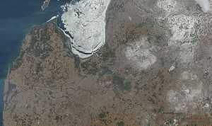
Vidzeme Upland
Encyclopedia

Latvia
Latvia , officially the Republic of Latvia , is a country in the Baltic region of Northern Europe. It is bordered to the north by Estonia , to the south by Lithuania , to the east by the Russian Federation , to the southeast by Belarus and shares maritime borders to the west with Sweden...
, named after the historical region of Vidzeme
Vidzeme
Vidzeme is one of the historical and cultural regions of Latvia. Literally meaning "the Middle Land" it is situated in north-central Latvia north of the Daugava River...
. Sometimes it is referred to as the Central Vidzeme Upland, to distinguish it from another hilly area of Vidzeme, Alūksne Upland
Alūksne Upland
The Alūksne Upland is a hilly area of higher elevation in eastern Latvia, in the historical region of Vidzeme...
, also known as the "East Vidzeme Upland".
Geography
The Vidzeme Upland is part of the drainage divide between GaujaGauja
The Gauja is one of the longest rivers in Latvia, with a length of and a catchment area of . Its source is in the hills southeast of Cēsis. It first flows east and north and forms the border with Estonia for about . South of Valga and Valka, it turns west towards Valmiera, continuing southwest...
and Daugava river basins.
The upland contains the highest point of Latvia, the Gaiziņkalns
Gaizinkalns
Gaiziņkalns, at 312 m above sea level, constitutes the highest point in Latvia. It is situated a short distance to the west of the town of Madona, central Vidzeme....
hill.

