

Plavecké Podhradie
Encyclopedia
Village
A village is a clustered human settlement or community, larger than a hamlet with the population ranging from a few hundred to a few thousand , Though often located in rural areas, the term urban village is also applied to certain urban neighbourhoods, such as the West Village in Manhattan, New...
and municipality
Municipality
A municipality is essentially an urban administrative division having corporate status and usually powers of self-government. It can also be used to mean the governing body of a municipality. A municipality is a general-purpose administrative subdivision, as opposed to a special-purpose district...
in western Slovakia
Slovakia
The Slovak Republic is a landlocked state in Central Europe. It has a population of over five million and an area of about . Slovakia is bordered by the Czech Republic and Austria to the west, Poland to the north, Ukraine to the east and Hungary to the south...
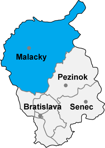
in the Malacky District
Malacky District
The Malacky District is a district inthe Bratislava Region of western Slovakia. Until 1918, the district was part of the Hungarian county of Pressburg.-Municipalities:*Borinka*Gajary*Jablonové*Jakubov*Kostolište*Kuchyňa*Láb...
in the Bratislava region
Bratislava Region
The Bratislava Region is one of the administrative regions of Slovakia. Its capital is Bratislava. It is the smallest of the eight regions of Slovakia.-Geography:...
.
Geography
The village lies at an altitude of 256 metres and covers an area of 21.188km². It has a population of 696 people.Plavecky castle (remains)
Original Castle was built in 13th century. Middle part consisted of gothic castle:rectangular tower and the palace. In 16th century it was expensively rebuilt into renaissance fortress with low courtyards. It was continually fortiefied and maintained during 17th century, when new cannon bastions were built. In 1706 it was damaged by army and so became dilapidated in 18th century. The remains are visible from surrounding environment, part of Zahorie district can be seen from the remains. Water font is located near the remains.External links
- http://www.statistics.sk/mosmis/eng/run.html