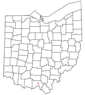
Clarktown, Ohio
Encyclopedia

Unincorporated area
In law, an unincorporated area is a region of land that is not a part of any municipality.To "incorporate" in this context means to form a municipal corporation, a city, town, or village with its own government. An unincorporated community is usually not subject to or taxed by a municipal government...
in southeastern Jefferson Township
Jefferson Township, Scioto County, Ohio
Jefferson Township is one of the sixteen townships of Scioto County, Ohio, United States. The 2000 census found 2,751 people in the township.-Geography:Located in the northern part of the county, it borders the following townships:...
, Scioto County
Scioto County, Ohio
As of the census of 2000, there were 79,195 people, 30,871 households, and 21,362 families residing in the county. The population density was 129 people per square mile . There were 34,054 housing units at an average density of 56 per square mile...
, Ohio
Ohio
Ohio is a Midwestern state in the United States. The 34th largest state by area in the U.S.,it is the 7th‑most populous with over 11.5 million residents, containing several major American cities and seven metropolitan areas with populations of 500,000 or more.The state's capital is Columbus...
, United States
United States
The United States of America is a federal constitutional republic comprising fifty states and a federal district...
. It was listed as a census-designated place
Census-designated place
A census-designated place is a concentration of population identified by the United States Census Bureau for statistical purposes. CDPs are delineated for each decennial census as the statistical counterparts of incorporated places such as cities, towns and villages...
in 2010. Located at the intersection of State Route 139 with Burns Hollow and Blue Run Roads, it lies 4¾ miles (7½ km) southeast of Lucasville
Lucasville, Ohio
Lucasville is a census-designated place in Scioto County, Ohio, United States. The population was 1,588 at the 2000 census. The village of Lucasville was laid out by Captain John Lucas in June 1819 and recorded August 7, 1819. Captain Lucas built the first tavern in the village and kept it until...
and 9½ miles (15 km) northeast of the city of Portsmouth
Portsmouth, Ohio
Portsmouth is a city in the U.S. state of Ohio and the county seat of Scioto County. The municipality is located on the northern banks of the Ohio River and east of the Scioto River in Southern Ohio. The population was 20,226 at the 2010 census.-Foundation:...
, the county seat
County seat
A county seat is an administrative center, or seat of government, for a county or civil parish. The term is primarily used in the United States....
of Scioto County. Long Run, a tributary of the Rocky Fork of the Little Scioto River
Little Scioto River (Ohio River)
The Little Scioto River is a tributary of the Ohio River, about long, in southern Ohio in the United States. Via the Ohio River, it is part of the watershed of the Mississippi River, draining an area of ....
, flows past the community.

