Rivey Hill
Encyclopedia

Hill
A hill is a landform that extends above the surrounding terrain. Hills often have a distinct summit, although in areas with scarp/dip topography a hill may refer to a particular section of flat terrain without a massive summit A hill is a landform that extends above the surrounding terrain. Hills...
overlooking Linton
Linton, Cambridgeshire
Linton is a village in rural Cambridgeshire, England, on the border with Essex. It has been expanded much since the 1960s and is now one of many dormitory villages around Cambridge. The railway station was on the Stour Valley Railway between Cambridge and Colchester, now closed. The Rivey Hill...
in Cambridgeshire
Cambridgeshire
Cambridgeshire is a county in England, bordering Lincolnshire to the north, Norfolk to the northeast, Suffolk to the east, Essex and Hertfordshire to the south, and Bedfordshire and Northamptonshire to the west...
. It is the highest point for several miles around and stands at the impressive height (for a Cambridgeshire hill) of 112 m/367 ft. The hill has steep sides going down into Linton and a prominence
Topographic prominence
In topography, prominence, also known as autonomous height, relative height, shoulder drop , or prime factor , categorizes the height of the mountain's or hill's summit by the elevation between it and the lowest contour line encircling it and no higher summit...
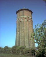
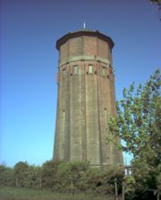
of 21 m. It is crowned by a large watertower which identifies it when seen from a long way off; the highest point is on private land but a footpath crosses near the top, ascending from Linton. (200 ft of ascent!)
The ascent of the hill is the start of a pleasant circular walk, detailed in Jarrold's Walks in Cambridgeshire, which goes north from the top to the Roman Road
Roman road
The Roman roads were a vital part of the development of the Roman state, from about 500 BC through the expansion during the Roman Republic and the Roman Empire. Roman roads enabled the Romans to move armies and trade goods and to communicate. The Roman road system spanned more than 400,000 km...
, follows this over Hildersham Hill (95 m) for 2 miles (3.2 km), then descends to Hildersham
Hildersham
Hildersham is a small village 8 miles to the south-east of Cambridge, England. It is situated just off the A1307 between Linton and Great Abington on a tributary of the River Cam known locally as the River Granta...
and goes back along the valley of the River Granta to Linton.
See also
- Army Manoeuvres of 1912Army Manoeuvres of 1912The Army Manoeuvres of 1912 was the last exercise of its kind conducted by the British army before the outbreak of the First World War. In the manoeuvres, Sir James Grierson decisively beat Douglas Haig, calling into question Haig's abilities as a field commander.J. E. B...

