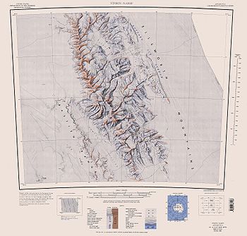
Saltzman Glacier
Encyclopedia

Glacier
A glacier is a large persistent body of ice that forms where the accumulation of snow exceeds its ablation over many years, often centuries. At least 0.1 km² in area and 50 m thick, but often much larger, a glacier slowly deforms and flows due to stresses induced by its weight...
that drains the north slopes of Mount Allen
Mount Allen (Antarctica)
Mount Allen is a mountain located 5.2 mi southeast of Mount Craddock in the southern Sentinel Range, Ellsworth Mountains in Antarctica. The peak surmounts Saltzman Glacier to the north, Kornicker Glacier to the southeast, Bolgrad Glacier to the southwest and Brook Glacier to the west. It was...
, the east slopes of Mount Strybing
Mount Strybing
Mount Strybing is a mountain standing 3 nautical miles southeast of Mount Craddock in the south part of Sentinel Range, Ellsworth Mountains. It is linked to Mount Craddock by Karnare Col. First mapped by United States Geological Survey from surveys and U.S. Navy air photos, 1957-59. Named by...
and Karnare Col
Karnare Col
Karnare Col is the narrow rocky col of elevation 2100 m linking the southeast slopes of Mount Craddock to the northeast ridge of Mount Strybing in southern Sentinel Range, Ellsworth Mountains in Antarctica. It is extending 1.7 km in east-west direction, with a depression in its eastern part...
, and the southeast slopes of Mount Craddock
Mount Craddock
Mount Craddock is a large, bold mountain forming the south extremity of Craddock Massif in Sentinel Range, the highest mountain in Antarctica. It is linked by Karnare Col to Mount Strybing in the southern Sentinel Range...
, and flows eastwards between Mount Osborne
Mount Osborne
Mount Osborne is a mountain on the southwest side of Thomas Glacier, 5 nautical miles east of Mount Craddock, in the Sentinel Range, Ellsworth Mountains. First mapped by United States Geological Survey from surveys and U.S. Navy air photos, 1957-59. Named by Advisory Committee on Antarctic...
and Moyher Ridge into Thomas Glacier
Thomas Glacier
Thomas Glacier is a roughly Z-shaped glacier which drains the southeast slopes of Vinson Massif and flows for 17 nautical miles through the south part of the Sentinel Range, Ellsworth Mountains, leaving the range south of Johnson Spur. Discovered by U.S...
in southern Sentinel Range
Sentinel Range
The Sentinel Range is a major mountain range situated northward of Minnesota Glacier and forming the northern half of the Ellsworth Mountains in Antarctica. The range trends NNW-SSE for about and is 24 to 48 km wide...
, Ellsworth Mountains
Ellsworth Mountains
The Ellsworth Mountains are the highest mountain ranges in Antarctica, forming a long and wide chain of mountains in a north to south configuration on the western margin of the Ronne Ice Shelf. They are bisected by Minnesota Glacier to form the northern Sentinel Range and the southern Heritage...
in Antarctica.
Named by US-ACAN (2006) after Eric S. Saltzman, Department of Earth System Science, University of California, Irvine
University of California, Irvine
The University of California, Irvine , founded in 1965, is one of the ten campuses of the University of California, located in Irvine, California, USA...
; USAP
United States Antarctic Program
United States Antarctic Program is an organization of the United States government which has presence in the continent of Antarctica. It co-ordinates research and the operational support for research in the region...
investigator of Antarctic ice core records of oceanic emissions; Chair, 2006, U.S. National Ice Core Working Group for use of Antarctic ice cores for research purposes.
Maps
- Vinson Massif. Scale 1:250 000 topographic map. Reston, Virginia: US Geological Survey, 1988.

