Waterpocket Fold
Encyclopedia


Capitol Reef National Park
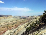
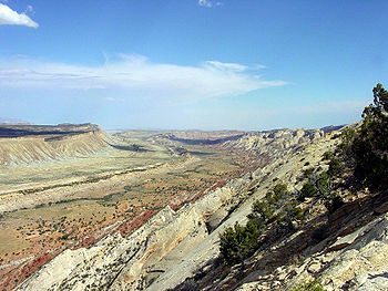
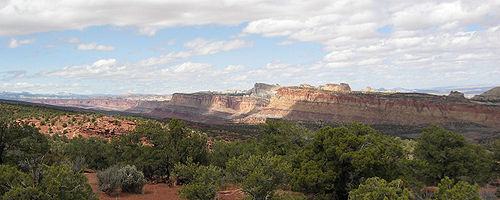
Capitol Reef National Park is a United States National Park, in south-central Utah. It is 100 miles long but fairly narrow. The park, established in 1971, preserves 378 mi² and is open all year, although May through September are the most popular months.Called "Wayne Wonderland" in the 1920s...
in the western United States
United States
The United States of America is a federal constitutional republic comprising fifty states and a federal district...
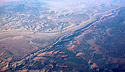
. This monoclinal fold
Monocline
A monocline is a step-like fold in rock strata consisting of a zone of steeper dip within an otherwise horizontal or gently-dipping sequence.-Formation:Monoclines may be formed in several different ways...
extends for slightly over 100 miles in the desert of central Utah
Utah
Utah is a state in the Western United States. It was the 45th state to join the Union, on January 4, 1896. Approximately 80% of Utah's 2,763,885 people live along the Wasatch Front, centering on Salt Lake City. This leaves vast expanses of the state nearly uninhabited, making the population the...
. It can be seen via three scenic routes in the park. One route leads to a famous landmark known as the Golden Throne
Golden Throne (mountain)
The Golden Throne is a mountain located in Capitol Reef National Park, in Utah, United States. It is a rock formation dome made up of in a gold-stained Navajo Sandstone, which is particularly special because normally the sandstone is creamy white or red...
. This landmark is covered in golden sandstone that gives it its name. The Waterpocket Fold lies east of the town of Torrey
Torrey, Utah
Torrey is a town located on State Route 24 in Wayne County, Utah, eight miles from Capitol Reef National Park. As of the 2000 census, the town had a total population of 171....
, three miles west and just southeast of the Middle Desert. This area is prized for its scenic hiking.
External links
- Photo gallery of the Fold
- Geologic Maps and Images of the Waterpocket Fold, Remote sensingRemote sensingRemote sensing is the acquisition of information about an object or phenomenon, without making physical contact with the object. In modern usage, the term generally refers to the use of aerial sensor technologies to detect and classify objects on Earth by means of propagated signals Remote sensing...
tutorial at USGS


